











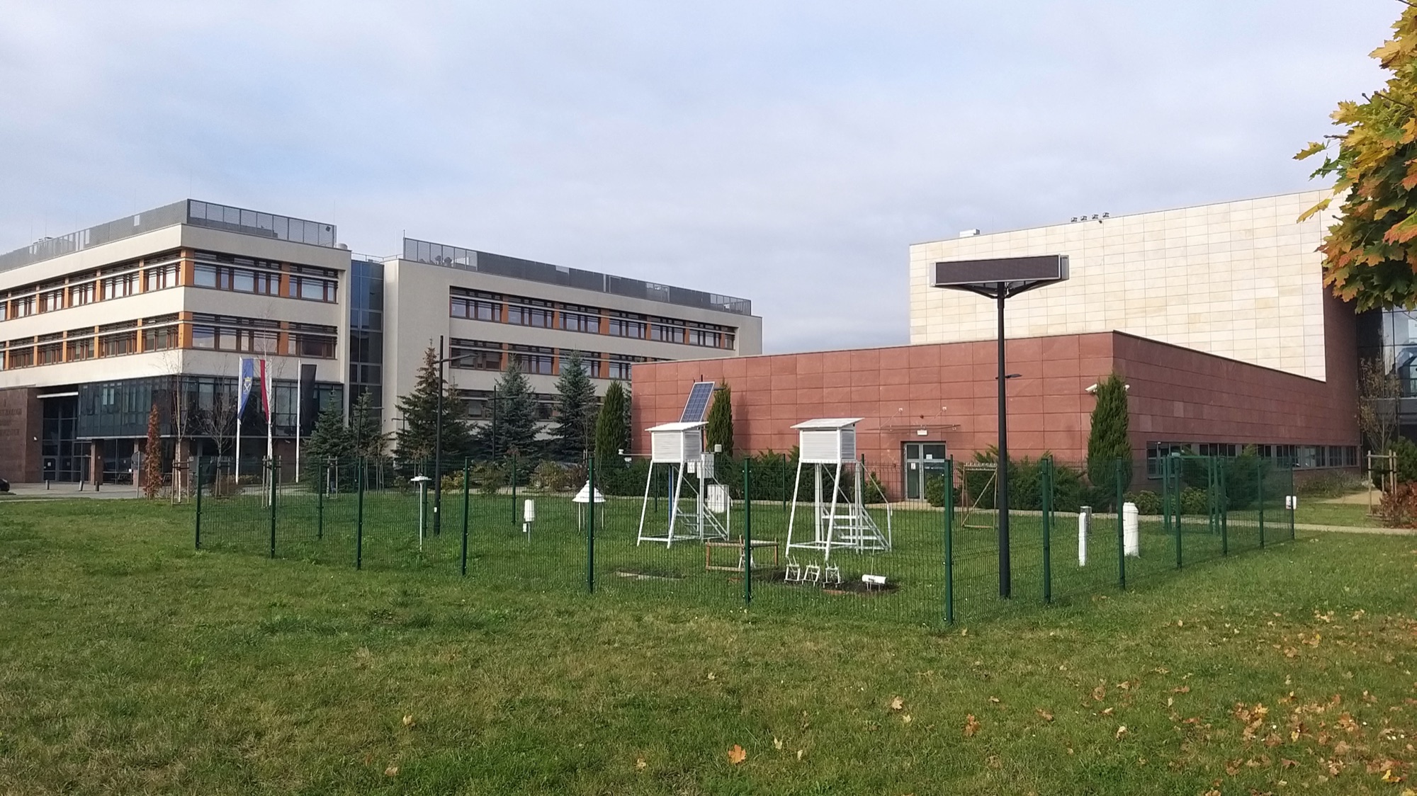
Environmental sensors, energy meters, building automation and field teams often record data in separate systems. Different device names, units and timestamps make those records difficult to use together.
A new study of energy data use
According to the official ISO project record, ISO/IEC AWI TR 25005-5, which will examine energy-data use cases in smart cities, entered the work programme on 13 October 2026. It is still under development, not a published technical report or a new mandatory standard.
Start with a decision, not a dashboard
Identify a question: how does irrigation consumption change, which buildings use energy outside working hours, or which measurement points have stopped reporting? Specify the necessary sources, update frequency and responsible users for each question. Success is timely, reliable information, not the number of connected devices.
Separate devices and measurement points
A device can be replaced while the measurement point's history remains relevant. The OGC SensorThings API provides a common model for things, locations, sensors, observed properties, datastreams and observations. Keep a meter's serial number separate from the name of the point it measures, and record replacement dates.
Standardise time, units and quality
Document what each timestamp means, its time zone and the recording interval. Measurements uploaded after an outage must not be mistaken for live readings. Instantaneous power, cumulative meter readings and energy consumed over an interval are different quantities; document conversions.
Published on 15 July 2026, ISO/IEC 25005-1:2026 addresses data availability, quality assurance, ease of use, security and data-enabled innovation. Check for missing records, duplicate timestamps and unexpected values. Flag suspect readings and preserve originals when corrections are made.
Pilot before expanding
Specify the system of record, duplicate-handling rules, access rights and maintenance responsibility. Maps and dashboards should show the latest measurement time, outages and quality status instead of presenting stale or modelled values as current field measurements. Pilot a few points for one decision need, then expand after checking records with field teams. Yörünge Kurumsal supports this work through GIS, field data, bespoke software and integration.